From roadways to waterways, keep Hawai’i trash free!
Pollutants, such as trash, can travel into nearby waterbodies during rain events, which harms local water quality and impacts both ecosystem and human health. This map shows the waterbodies on O’ahu that have been identified as trash impaired, which means that they do not meet State water quality standards and trash has been identified as a pollutant of concern.
One of our most important jobs is protecting and restoring our local waterbodies. Visit our tips page to learn more on how you can join The Hawai’i Department of Transportation (HDOT), O’ahu District in the #TrashFreeHawaii initiative and help to keep our waterbodies trash free!
Click on the different waterways in the map to the right to see if any streams or marine waters near you are trash impaired.
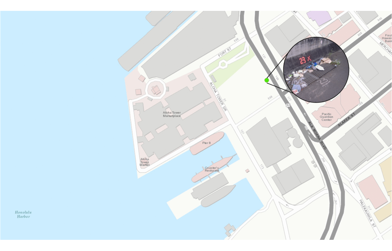
With a little rain, trash littered on the street can easily make its way into a storm drain and out to the ocean.
This journey shows how trash travels from the streets of downtown Honolulu to Honolulu Harbor.
Because the majority of storm water is not treated in Hawai’i, any trash that is on our roadways can be easily washed into local waterways. As shown in the diagram above, storm water drainage structures, such as inlets and pipes, are all potential conduits for trash to enter our local streams, rivers, and ocean.
HDOT manages a storm water network of over 10,000 drainage structures and over 200 miles of pipes and open channels. Explore our Trash Reduction Plan to learn more about the steps HDOT has taken to minimize the volume of trash entering its storm water network.
This map highlights the HDOT storm water network within the Ala Wai watershed, which has been identified as trash impaired. Our network connects with the City & County of Honolulu storm water network.
Zoom in on the map to the right to see the different inlets, manholes, and other infrastructure that all connect to make up our storm drain system.